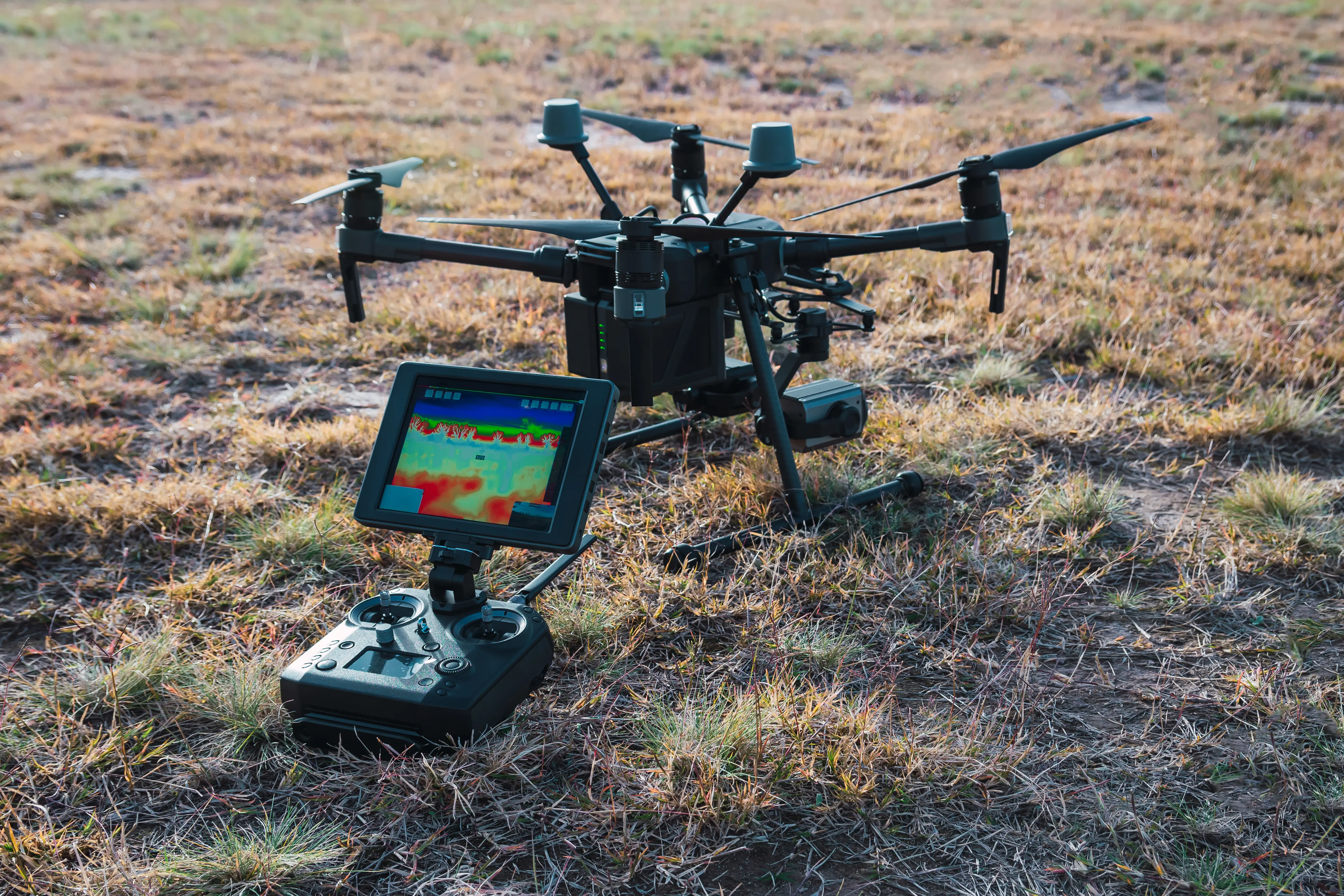
Specialists in drone mapping, photogrammetry and LiDAR scanning, in conjunction with traditional land surveying. We deliver precise geospatial data for land development, infrastructure, and inspection projects.


![[background image] image of topdown photo of desk with laptop (for a food and agtech)](https://cdn.prod.website-files.com/685dac5b9d8d3d75b2b43a0a/687d45a6c931d941412a44b6_DJI_20250611111503_0013.webp)
Comprehensive topographic surveys using advanced LiDAR, aerial imagery, and traditional measurement. Ideal for land development, infrastructure, and real estate projects.
Infrastructure, powerline, and asset inspections with high-resolution drone imagery. Enhance safety, efficiency, and data accuracy for your projects.

Obtain detailed surface models with LiDAR and photogrammetry. Ideal for land development, infrastructure, and planning, ensuring accurate elevation and terrain data.
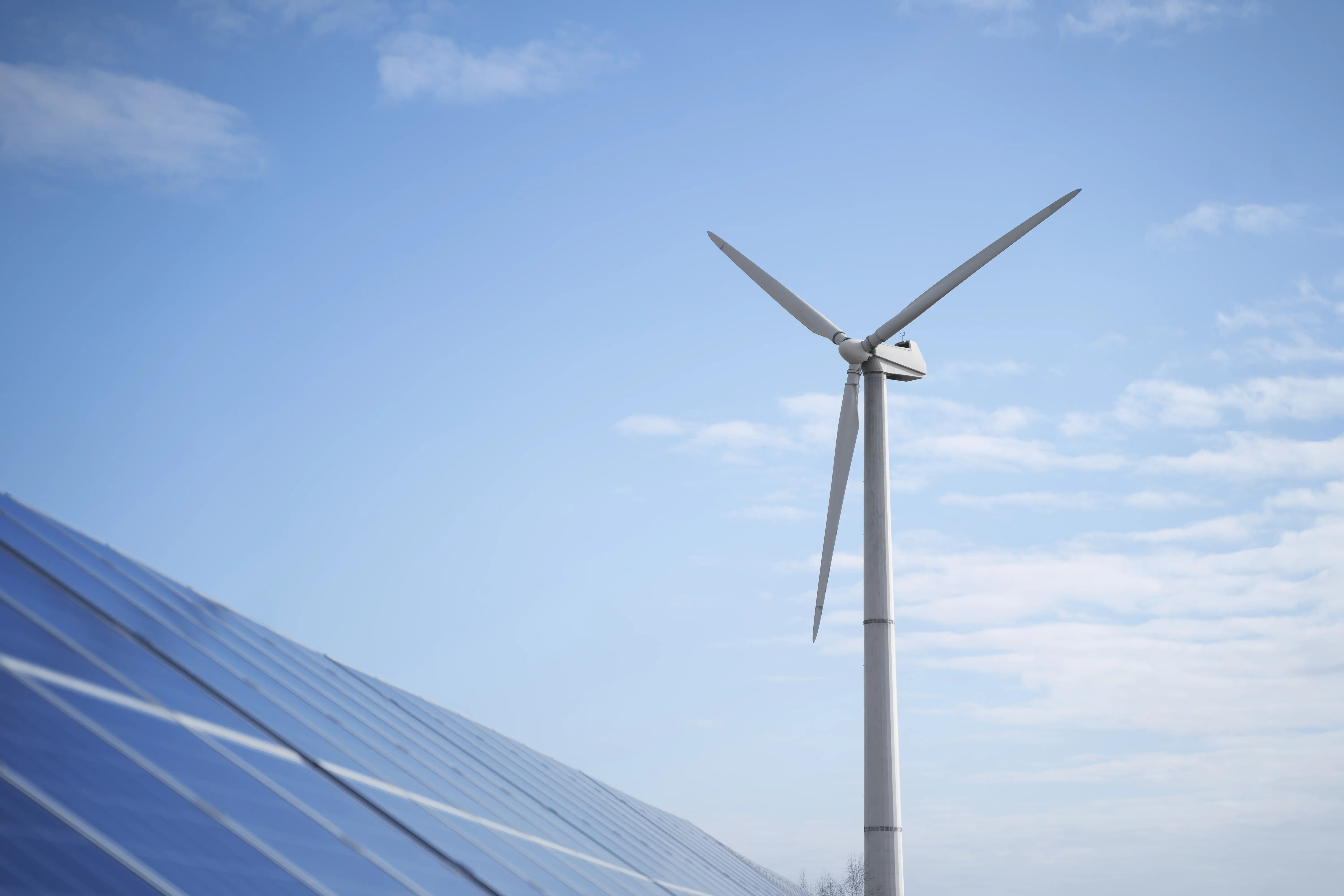

Aerial assessments for powerlines, solar, bridges, wind turbines, and more. Detect faults, monitor conditions, and maintain compliance with geospatial reporting.
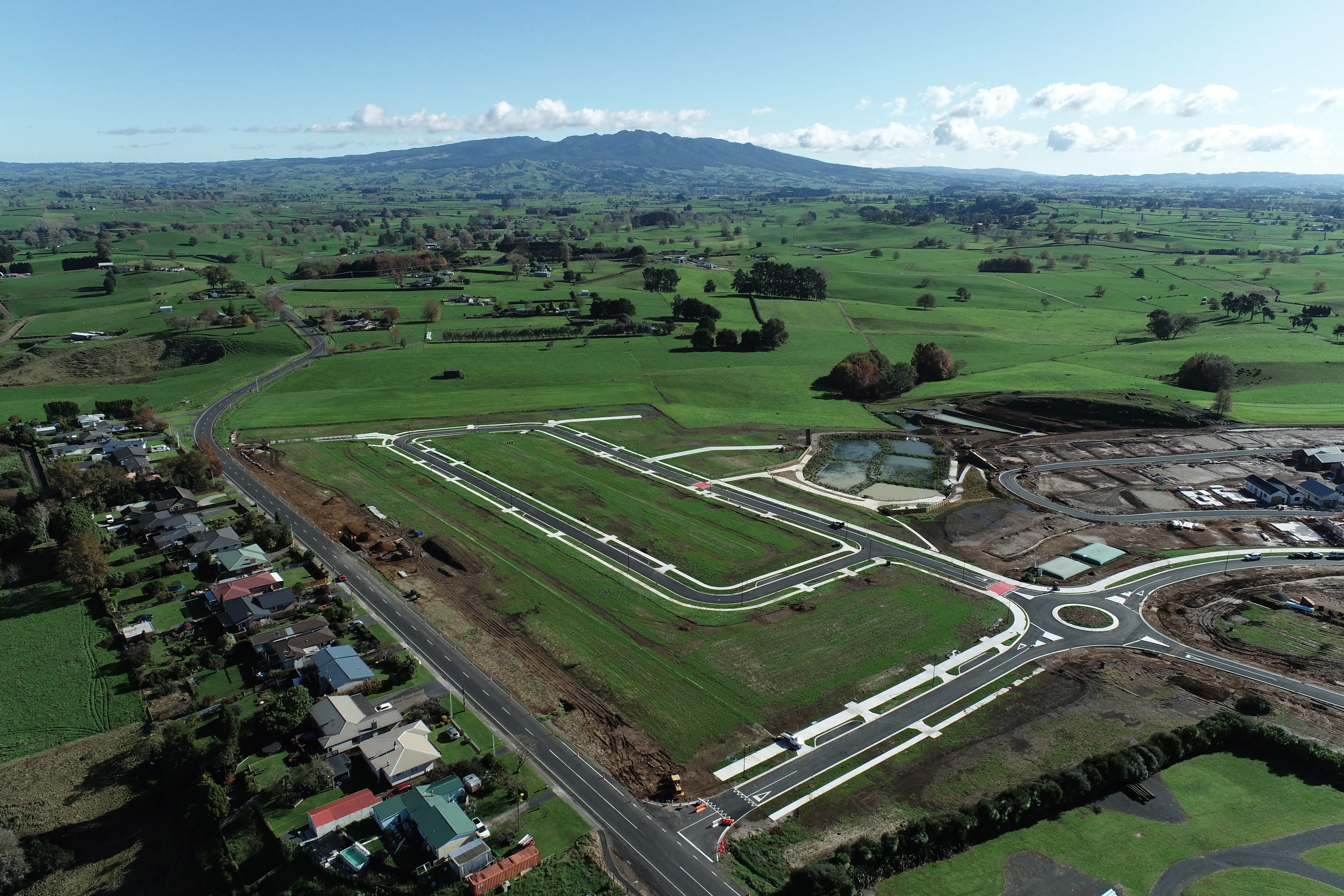
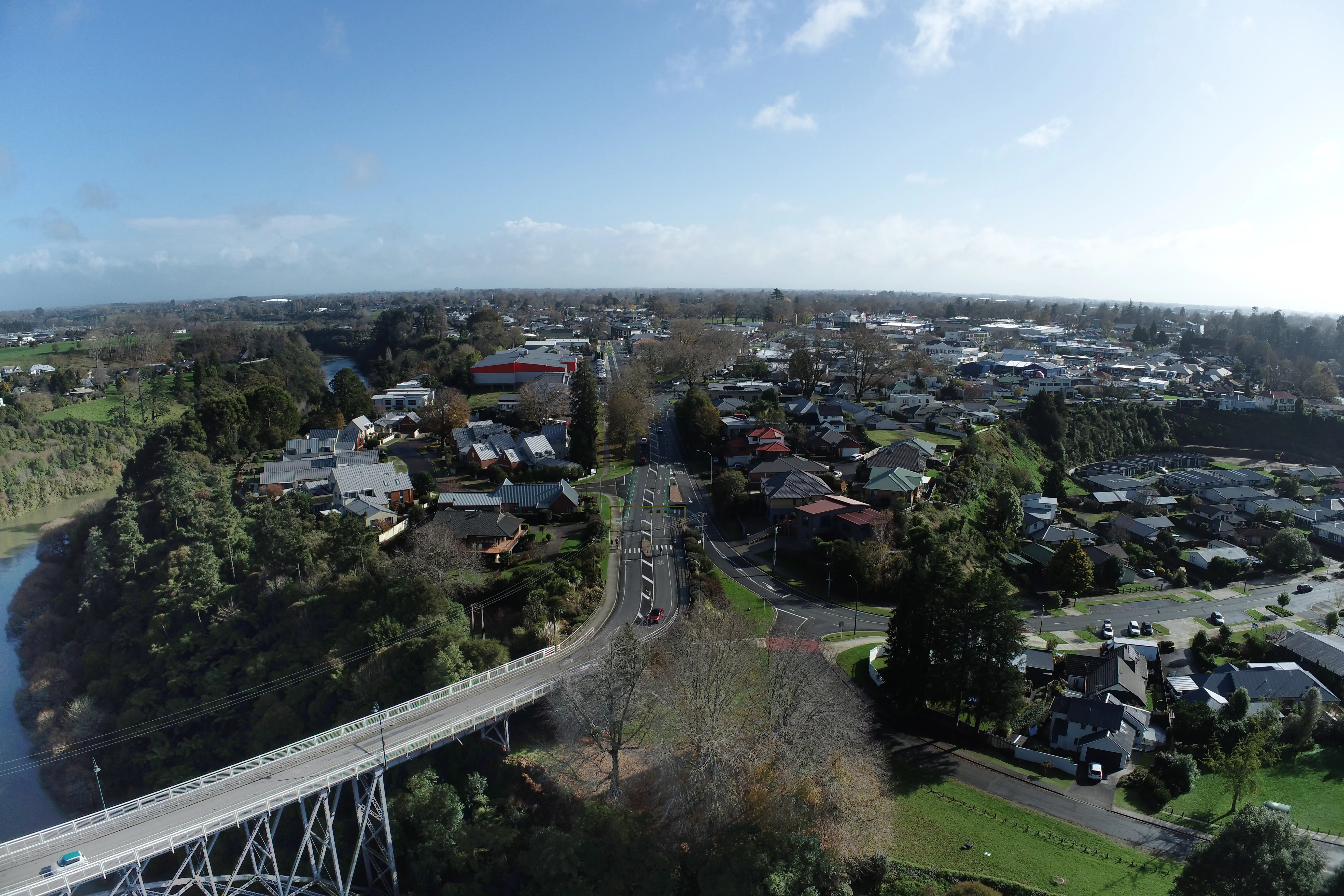
![[team]](https://cdn.prod.website-files.com/685dac5b9d8d3d75b2b43a0a/6878031d2087dcc489bcf816_DJI_20240829094654_0007.webp)
Comprehensive support for subdivision, civil engineering, and project management. Ensure regulatory compliance and efficient land development with expert surveys.

High-resolution photography and video for real estate, construction, and commercial projects. Enhance marketing, documentation, and site monitoring.

Topographic mapping with LiDAR and drone imagery for precise land analysis.
Infrastructure inspections: powerlines, solar panels, bridges, and more.
Subdivision, civil engineering, and project management expertise.