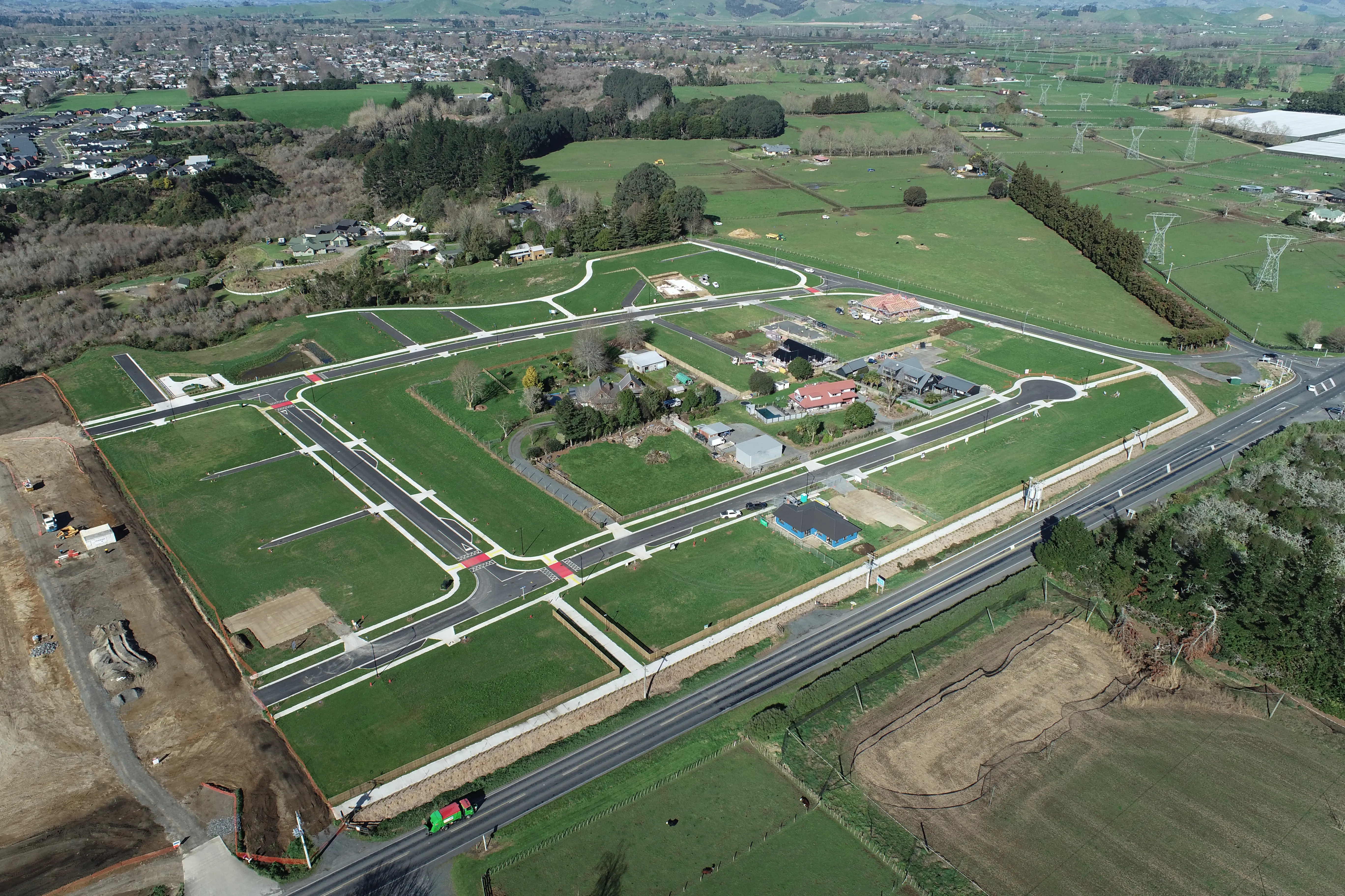
From comprehensive surveying and mapping that lays the groundwork for any project, to in-depth asset inspection ensuring the integrity of critical infrastructure, our integrated solutions deliver unparalleled accuracy. We capture stunning aerial imagery for insightful visual analysis and provide the crucial data necessary for seamless land development and subdivisions, helping you unlock the full potential of your property.
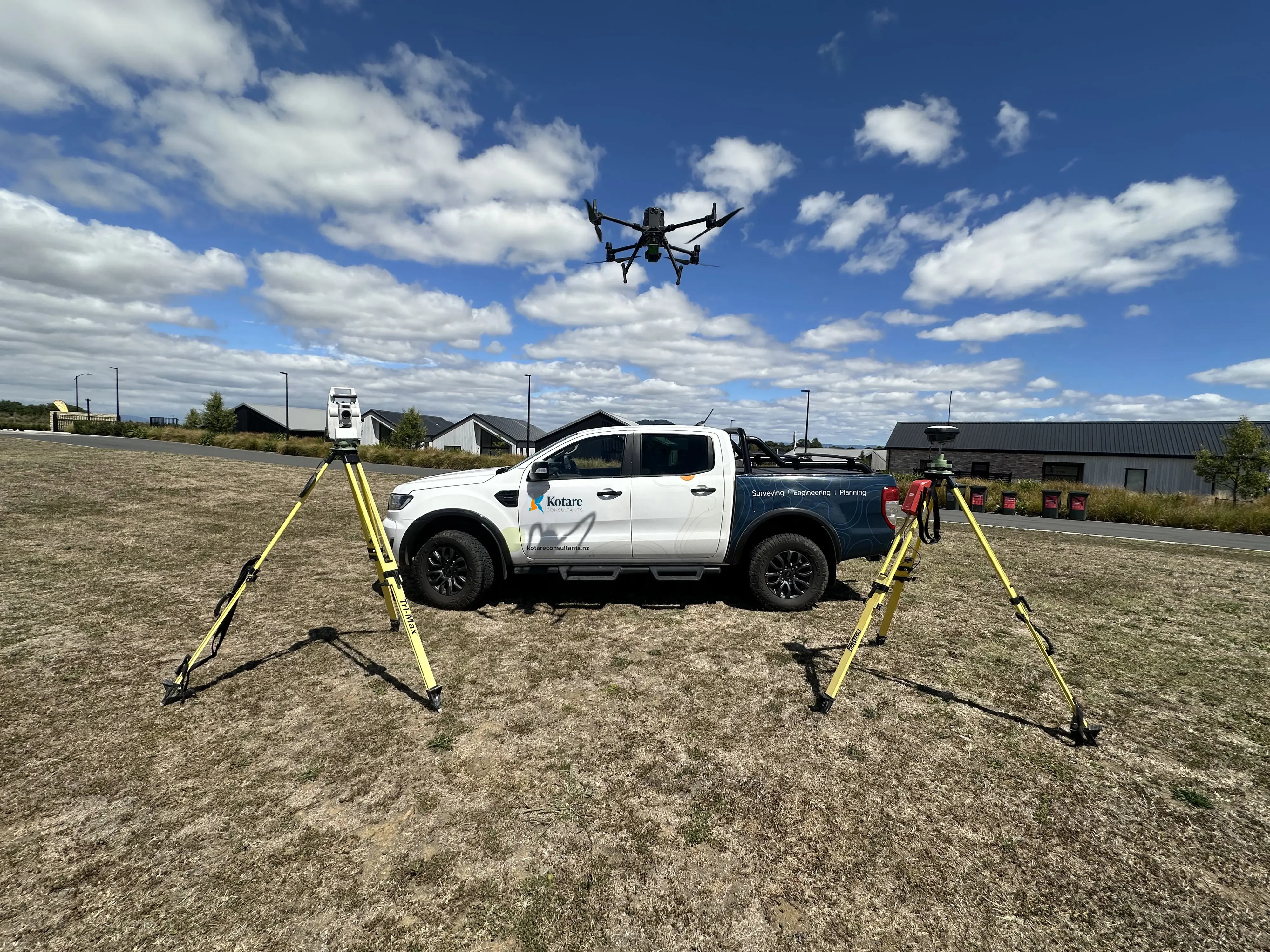
We provide advanced LiDAR and drone solutions, empowering sectors across New Zealand with critical insights. From land developers, engineers, and construction firms requiring detailed mapping for projects and subdivisions, to infrastructure and utility companies optimizing asset management, our technology drives efficiency. We also support agriculture, forestry, environmental, and government agencies with vital data for resource management and planning.
![[background image] image of blueprint for a construction company](https://cdn.prod.website-files.com/685dac5b9d8d3d75b2b43a0a/687802b409c6903d8b2dc766_20250226_104330.webp)
Unlock the full potential of your projects with Kotare Aerial. We leverage state-of-the-art LiDAR and drone technology to deliver highly accurate mapping, detailed inspections, and comprehensive aerial intelligence. Our commitment to accuracy, efficiency, and safety ensures every aerial survey and mapping project delivers superior data, empowering smarter decisions and successful outcomes across Waikato and beyond.
In the Waikato, our drone surveying services leverage advanced technology to efficiently capture comprehensive, detailed data across both large and small land areas. This precision is ideal for accurate project management and monitoring earthworks projects, providing monthly volume difference reports that simplify progress tracking and validate contractual claims.

“Aerial mapping provided rapid, high-precision data for our subdivision project. The team’s advanced geospatial methods ensured reliable, detailed results that streamlined our planning and approvals.”
Combining advanced drone technology, LiDAR scanning, and traditional methods to deliver precise aerial solutions for land development, infrastructure, and inspection projects.
![[headshot]](https://cdn.prod.website-files.com/685dac5b9d8d3d75b2b43a0a/6879ac627fb526f638af850f_John%20Illingsworth.jpg)
![[headshot] image of customer (for a home inspector)](https://cdn.prod.website-files.com/685dac5b9d8d3d75b2b43a0a/6879ac213dfea8254ff91fe5_Ciaran%20Murphy.jpg)
![[headshot] image of customer (for a pharmacy)](https://cdn.prod.website-files.com/685dac5b9d8d3d75b2b43a0a/6879abd30d84da38b2e2ac1f_Julian%20Thom.jpg)